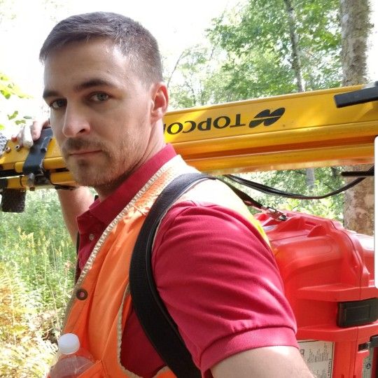
Sardelli Survey, LLC
Contact for price
Services needed
Sorry this pro can’t do your job, but we know other pros who can. Check them out
About
We provide professional land surveying, aerial drone services & 3D virtual tours throughout the state of Rhode Island.
Our services include, but are not limited to the following:
* Boundary Surveys
* Topographic/Existing Condition Surveys
* ALTA/ACSM Land Title Surveys
* Construction Surveys
* FEMA Flood Elevation Certificates
* Legal Descriptions
* GPS Surveys
* Subdivision Plats
* Land Planning Consultation
* Compilation Plans
* Condo Plans
*** Aerial Drone Services***
-Exterior 3D Models (Point Cloud)
-Orthophotography
-Aerial Still Photos
-2D/3D Planimetrics
-Monitoring Programs
*** 3D Virtual Tours***
-Matterport 3D Virtual Tours
-Interior 3D Models (Point Cloud)
-2D Schematic Floor Plans
I find a new challenge everyday ❤🤓📸🚁... and it's a constent evolution of techniques on how to master those challenges efficiently.
Overview
Hired 42 times
Background checked
1 employee
11 years in business
Business hours
This pro hasn't listed their business hours.
Payment methods
This pro accepts payments via Cash, Credit card, PayPal, and Square cash app.
Top Pro status
Top Pros are among the highest-rated, most popular professionals on Thumbtack.
2017
2016
Services offered
Services needed
Mark corners
Mark boundary lines
Set landmarks
Provide survey map
Reason for surveying
New construction
Home purchase
New fencing
Boundary dispute
Projects and media
Projects and media
Reviews
Customers rated this pro highly for punctuality, professionalism, and responsiveness.
Great 4.7
23 reviews
5
83%
4
9%
3
4%
2
0%
1
4%
Read reviews that mention:

Crystal D.
Dec 10, 2015
Hired on Thumbtack
We had great experience with Jamie from the start. He asked for our address at first then gave a contract with options, explanation of the options and breakdown of cost. We didnt get this from other land surveyors, some even just gave a dollar amount. After hiring Jamie, he gave us an idea of when he will come by to do the work and gave us updates. When he completed the job, he gave us the diagram and walked us through all the markers he had placed. We are pleased with his professionalism, excellent service and great attitude. We strongly recommend Jamie for any land surveying needs you would have.
Land Surveying

Bryan P.
Jul 26, 2015
Hired on Thumbtack
Sardelli's Survey did a great job of surveying my property and clearly marking the property lines. Thanks for the great job.
Bryan
Land Surveying

Roger B.
May 4, 2017
Hired on Thumbtack
Jamie provided excellent service at a reasonable price. He surveyd just the property boundries I needed. I highly recommend him for any survey work you need.
Land Surveying
Diane F.
Sep 12, 2015
Hired on Thumbtack
surveying my land for flood elevation....He was personable very educated about what he was talikng to me about.fast service and all around a real good guy!!!! I highly recommend him ..thank you..
Land Surveying

Susan m.
Aug 16, 2016
Hired on Thumbtack
The job was to determine what the boundaries of my property are. I I highly recommend Jaime for anybody who needs such work done. He is very approachable and always available by phone to answer questions. He is smart, courteous, and reliable. His work is first rate and so is he. It is very apparent that he loves his job. And his prices are fair.
Land Surveying
Credentials
Background Check
Jamie Sardelli